Pile Burning Operations


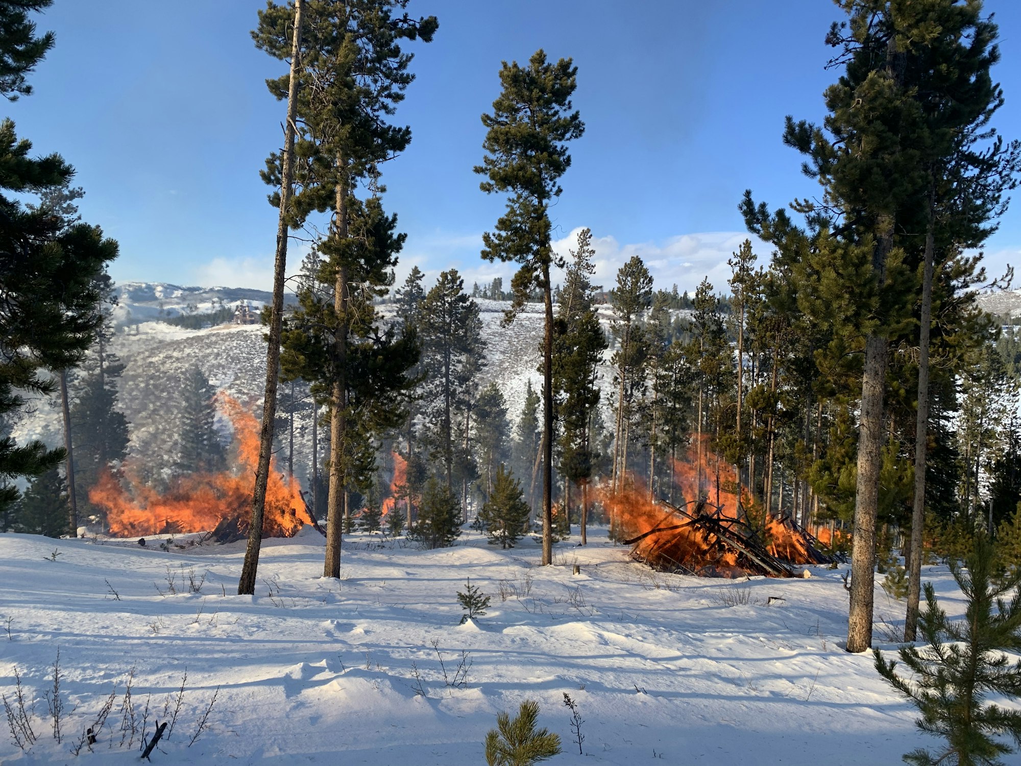
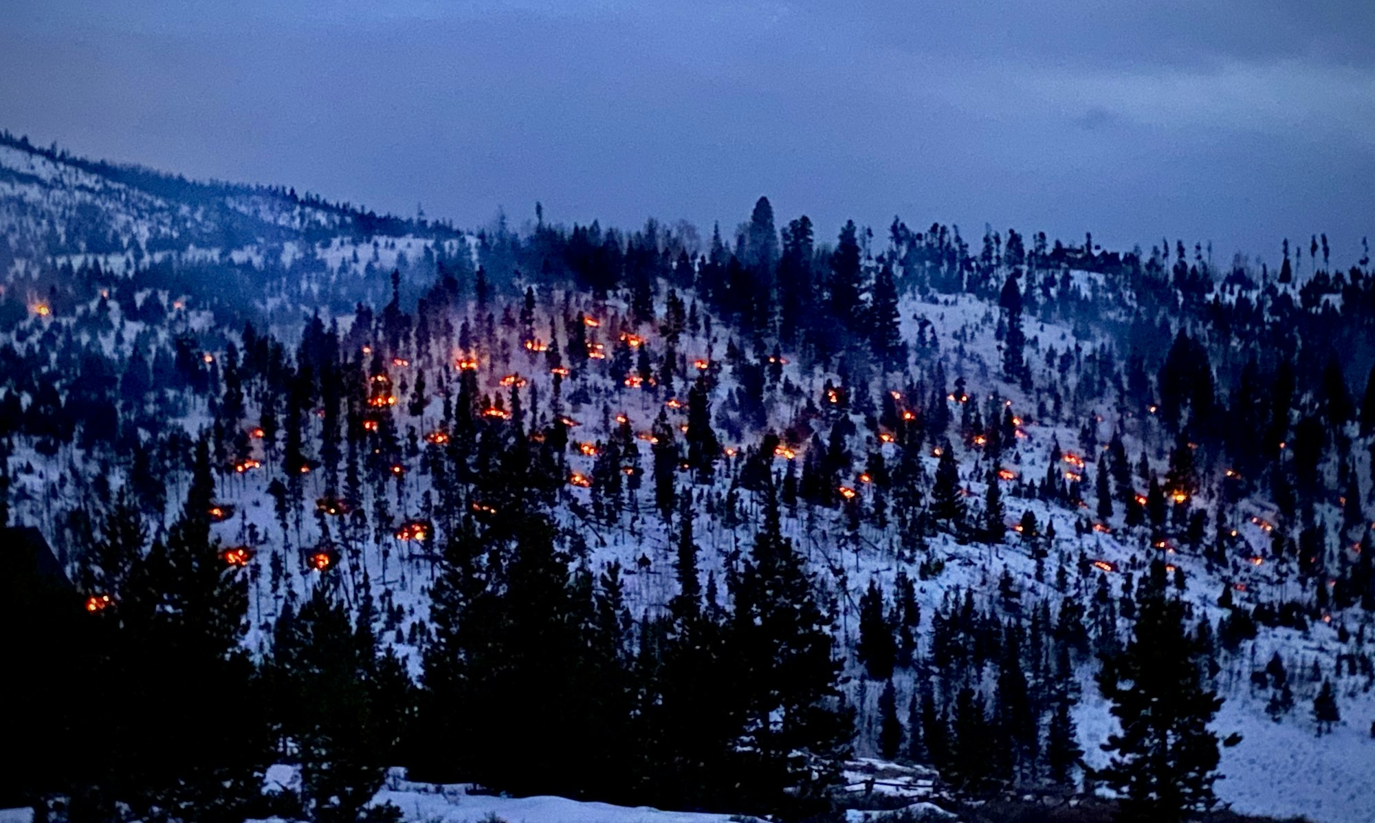
Grand Fire and Grand Lake Fire's Joint Wildland Division successfully burned nearly 800 piles from November to December! We want to give a big shout-out to our friends from Summit Fire and Division of Fire Prevention and Control for assisting us along the way, and Grand County Open Lands, Rivers and Trails for providing funding for this operation.

Grand Wildland Fire Team:
Granby Ranch / Winter Park Highlands units- Aimed at reducing fuels in our communities, the project should eliminate roughly 3500 hand piles from recent fuels projects on Granby Ranch property near Innsbruck and Ten Mile Creek Estates, as well as piles on the Fraser Canyon side of WPH, and piles left from the Team Rubicon project in WPH.


Arapaho and Roosevelt National Forests - US Forest Service:
Fair Unit: Hand and Machine piles, located near Fair Tracts, east of Tabernash along Water Board Road (FSR 128).
Shadow Mountain Village: Hand piles, located in Grand Lake near the Shadow Mountain Picnic Area.
Strawberry Unit: Hand piles, located 3.5 miles west of Granby, near BLM Road 2751.
Pile burning is a type of prescribed fire where firefighters pile and burn forest debris to reduce an area’s wildfire risk.
These piles are made from the debris left after fuel reduction projects that involve thinning or cutting of trees in the forest.
Piles are only ignited under certain conditions, including favorable smoke dispersal and adequate snow cover, which helps contain the piles. These conditions direct firefighters on where burning can occur within the project areas due to the localized nature of conditions.
Prescribed fire is an important tool for decreasing long-term fire risk to communities and to restore our forests so they are more resilient to natural fire in the future.
All of our pile burns are conducted within the requirements of a smoke permit issued by the state of Colorado.
Smoke, flames, and glowing embers are often visible and are a normal part of pile burning operations, and they can be visible throughout the night. Wind is needed for smoke dispersal, and firefighters can safely burn piles in windy conditions. We monitor the forecast for favorable weather conditions and analyze the short term and extended forecast every time we ignite. If winds are forecast that could potentially create fire behavior that would put communities or residences at risk, firefighters don’t ignite piles.
For more information on the Pile Burning Plan for the Sulphur Ranger District, visit the Arapahoe & Roosevelt National Forests webpage
For more frequent updates on the status of pile burning activities, visit our Inciweb page: https://inciweb.nwcg.gov/.../coarf-arapaho-roosevelt...
